Find out more about your area
We have built a set of maps to help you find information about your town or parish.
We recommend that you view these on a large screen. There is simply too much information to display/access on smaller screens.
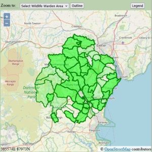
Most of the maps will display specific information for your area (town or parish).
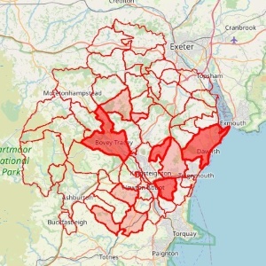
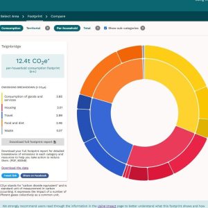
Some maps provide comparative data while others allow you to select certain parameters/views.
If you cannot find the data you are after, we may be able to source this for you, just ask.
Other mapped information
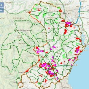
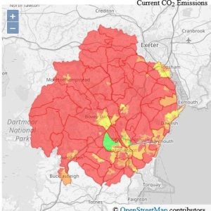
There is a host of general information about Teignbridge which you can access from the interactive map. Please note that much of this is currently not being updatated. Please contact us to find out more.
When you click on interactive maps, you’ll be abel to select various data related to Teignbridge or a ward/town/parish area.
Make sure to read the mapping help to familiarise yourself with the different features available and how to use these.
You can also explore the Local Plan 2020-40 sites in maps, this was used to respond to the consultation in 2022/23. A more up to date set of mapped information reflecting the Local Plan as it is ammended by the planninmg authority in Teignbridge.